Intro: For the sake of trying to answer some common questions and to give myself a grounding document to look back on later, I want to try to define what the walk is. This stream of consciousness is not why the walk is happening, that is a related but separate thought. Neither of the questions are entirely easy to answer even after being absorbed in the subject for well over a year now. I think defining “the what” is important as opposed to just “the why,” because no one else lives in my head except me. Often, I take for granted that people know what I am talking about when I discuss the walk, but they often don’t and I can’t blame them. If it is complicated and confusing to me then how can I expect for it to make sense for others? So, in an attempt to make my thoughts more digestible, it is important for me to explain the walk in as simple language as possible using core components.
Main Goal: The Goal of the walk is straightforward: it is to make it from the Pacific Ocean to the Atlantic Ocean by walking. Although the tagline for the walk is “Washington2Washington” I need to make this clear that the walk won’t officially end until I make it to the Atlantic. Where on the Atlantic is to be determined and I will have plenty of time to think about the final stop as I am walking.
Side Goals: For a while I thought that these were parts of my “why” for walking across America. In maybe some ways they are or will become the “why” of the walk, but they all came a part of the walk after I had already decided that I would walk across the country, so they needed to be in a sperate category. These goals also serve to frame the walk as key parts that I will often talk about or reference, so if you are surprised to hear me discuss topics such as Gurdwaras and the ever increasing size of cars this will help clear up some confusion. Each of these topics will hopefully be explored more in depth as the walk progress and as my thoughts materialize and develop.
- Encourage people to go walking and improve places for people to walk
- Gain perspective on what it is like of not knowing where you are going to sleep each night
- Learn more about the joys and issues of rural America
- Have an American style pilgrimage where I learn about the different faith groups of America
- Build a broader appreciation for America and Americans
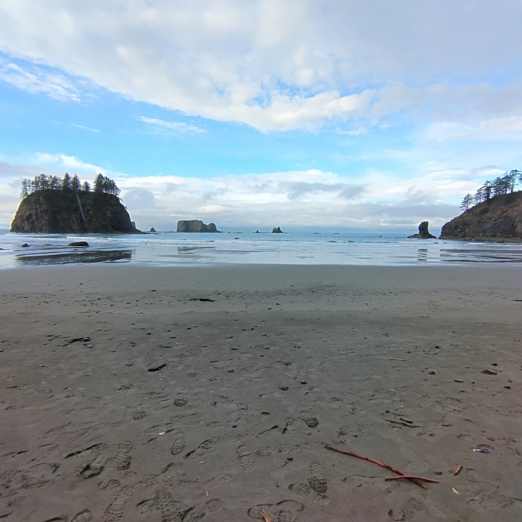
Duration: The walk should take somewhere between 6 to 9 months. Although it would be nice to finish before winter sets in, there are a lot of factors that would increase the time duration of the walk. Some of which include the amount of rest days I take along the way, somewhat related to that is how long I spend in cities/places I know friends and family at which I see as an opportunity for longer periods of rest. Additionally, a big theme of the walk will be not to get stuck in the mindset of get-there-itis. The goal should never be to try and get too caught up in how much mileage you are doing in a day and instead listen to your body. As someone who has also dealt with a cornucopia of running injuries, listening to your body as well as building up into mileage are both crucial for me.
Distance: The distance of the walk should be somewhere between 3500 to 4000 miles. That is based on a Google estimate of getting to Washington D.C while also trying to factor in that I have not picked a final destination to conclude the journey. There will also be some variation that may end up inflating the mileage because of detours to find places to sleep as well as taking routes that reduce exposure to traffic.
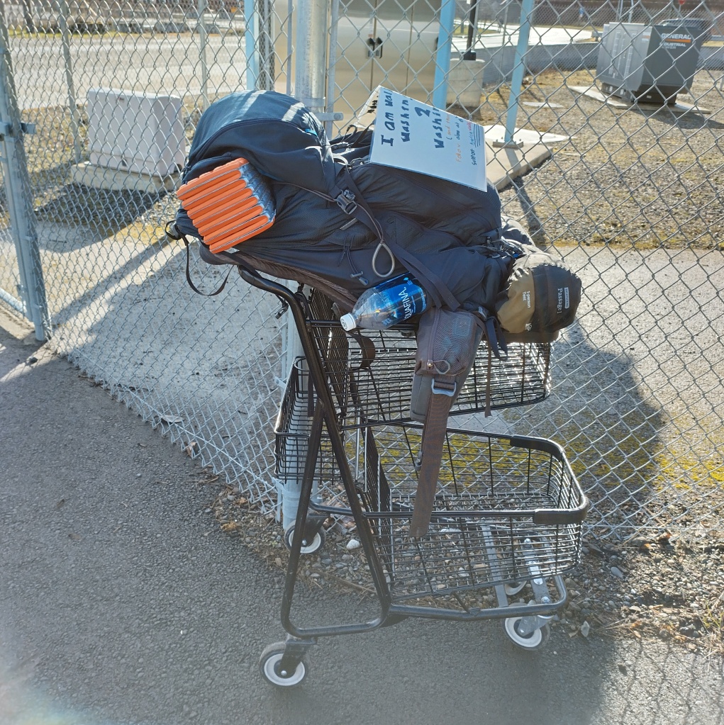
Gear: I will be using a backpack to carry my necessities to the other end of the country. Many others who have walked across the country carried their belongings by pushing a cart. A cart allows you to carry more belongings including essentials like food and water, while also reducing the stress on your body. Although I initially was leaning towards that option, the reason I went with a backpack was on account of the flexibility it allows me. I want to emphasize that my biggest fear about this journey is cars. Although a cart has its upsides, the downside is that it restricts you mostly to roads and thereby increasing your exposure to cars. By backpacking, you increase your options on where you can walk. A cart is also much more essential for long stretches of desert or people devoid regions. There is a chance that I temporarily use a cart from Idaho to Colorado, but I want to stress temporarily because I don’t really want to drag a cart through the Rockies.
My backpack will probably weigh somewhere between 30-40 pounds. Although right now I believe that I will only be carrying the essentials, there is probably a world where I try to lighten my load further as I learn more and if the burden of walking long days with a heavy pack takes its toll. One interesting thing that I learned while walking from Vancouver to Seattle was that a heavy pack can also have its advantages. Many people struck up conversations with me about how heavy my pack looked. And although it’s no guarantee, a conversation (stemming from pity but also curiosity) can be a great opportunity to get a free meal or find a nice place to sleep.
Footwear: In the buildup to the walk, I spent a lot of time thinking about the types of shoes that I would wear. A number of people recommended hiking boots to me, but when I did a test run with a pair in eastern Washington they seemed clunkier than I would have liked. On my journey from Vancouver to Seattle, I decided I would use the shoes that I did much of my training in, Altra’s Lone Peak 6’s. These shoes are designed as trail runners and they do a great job of providing traction while being lightweight. Altra’s have a wide toe box that better replicates a barefoot feel, something that I am a big fan of. These shoes allow for me to run, as well as traverse the trails of the Pacific Northwest. However, these shoes may have less functionality when it comes to much of the rest of the country. So, there is a good chance that I will switch up at my shoes at some point. Additionally, I will be carrying a pair of Chaco sandals with me on my excursion to supplement my walking shoes. Chaco’s are great camp shoes, great wading shoes, and a great alternative shoe while walking. They are also a little heavy, so there is a world where I find a lighter alternative along the way.

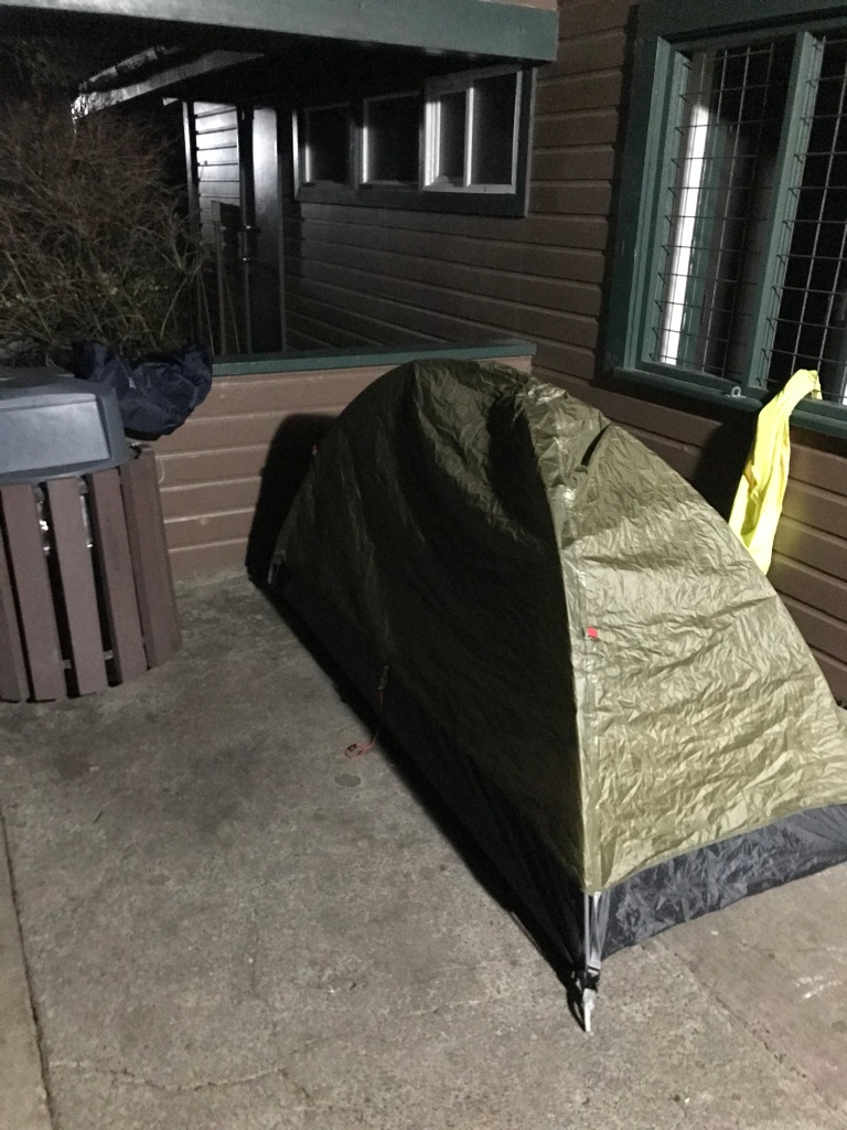
Sleep: One of the most important things that I will carry will be my tent. Most nights in between the Pacific and the Atlantic will be spent in that tent. If I needed to sleep in my tent every single night I could and I would. Sometimes I will be at campgrounds, sometimes it will be under a park picnic shelter, sometimes it will be in someone’s yard, and sometimes it will be in a graveyard. The possibilities are limitless and I’m sure I will sleep in a wide range of places. That being said, not sleeping in a tent is also cool and can be very energizing. Primarily I will find beds to sleep in through friends and family as well as outreach on social media. Alternatively, there are sites such as Warmshowers.org and Couchsurfing.com that allow kind strangers to host travelers. Hotels, motels, and hostels are all great and wonderful options to get a good night sleep; however, they are expensive relative to other options and will be used sparingly. If the fine people of this country or who follow my journey were to help pay for me to get a room for the night, I would happily accept.
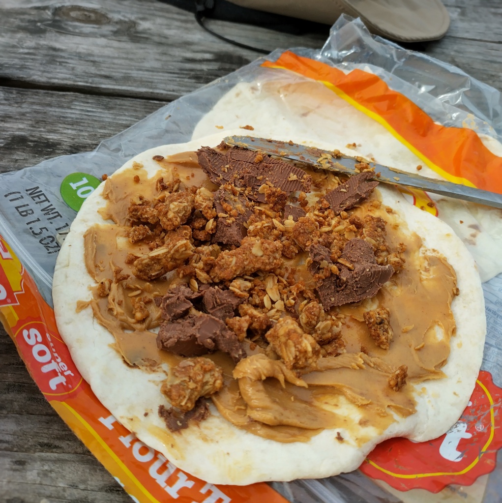
Food: Most of my diet will consist of things that are simple, cheap and easy to carry. Think bars, pop tarts, tortillas, bagels, bread, peanut butter, nuts, and cereal. When I have the opportunity to get different foods from grocery stores such as fruit, veggies, and warm foods, I will make the most of said opportunities. If someone offers me food, I will gladly accept. Although I don’t eat red meat in my non-walk life, I will gladly accept a cheeseburger from a kind stranger as it would be rude to decline.
Route: As previously mentioned under Goal the tagline for the walk is “Washington2Washington” the walk won’t officially end until I make it to the Atlantic. So the route to D.C should be much more predictable and I will comment on that. I will be starting in Washington state on March 8th from La Push, Washington and from there I will walk back to Seattle where I will stay for two weeks before heading south to Oregon on March 31st. From Oregon I will then travel to Idaho and there I will either choose to go through Wyoming or Utah. Initially the plan was to go through Wyoming, but I have since leaned more towards Utah since the Great Salt Lake may dry up within the next 5 years and it would be worth seeing. Regardless of the choice I will then proceed through Colorado, Kansas, Missouri, Illinois, Indiana, Ohio, West Virginia, Pennsylvania (for a small bit), Maryland, and then D.C. I would go into more detail about the route, but it has changed a number of times so it’s more of a tentative plan than anything. The real route planning will take week by week, day by day.

I will discuss a little bit more of my thought process in terms of how I built the route. The biggest priority for me was hitting cities that I had a connection to whether that be friends or family, or the fact I was born there (Indianapolis). The next biggest consideration was access to food and water. For most of the country this should not be too big of an issue, but getting from Eastern Oregon to Denver has a lot of land devoid of many people. I tried to route my path, so that I would never be 30-40 miles away from a town. The last major priority was accessibility to walking friendly infrastructure, think trails or low traffic streets. Although this last component will add to the distance I must walk, I believe the fact that I won’t need to worry about cars will more than compensate for the trouble. Exposure to cars is probably the worst part about walking long distances, so finding alternative routes to avoid them is a must. There are some other components on how I designed the route, but those three would probably be the most influential.
Although I would like to share an actual map on here, I want to be careful about sharing that information publicly. My public social media will give a general sense of where I am and where I am headed. What I am concerned for is someone wishing to do me harm by combining the information of my location from social media with public maps of my route. It may seem like an abundance of caution, but I would not want to risk anything. However, if you are someone I know and is interested in seeing my maps, I am encouraging donations of whatever amount you would be willing to give. For people I don’t personally know, I will send you my maps for $20. This money will primarily be used on food for my journey, so it is a great way to support me if interested.

Funding/Financing the walk: The walk is fully funded by me from money I inherited from my Grandparents. Additionally, some of the money will come from selling my car that my parents bought for me. I want to make the funding clear for the sake of transparency. I understand that I have a lot of privilege getting to do something like this and not everybody has the time or resources to undertake a journey such as this. Although, I will live a very meager life for the next year I am in no way trying to pretend to be poor for the sake of clout. I want to stress and acknowledge that fact. All that being said, if anyone seeks to somehow discredit the walk on account of my generational wealth, go for it. If being mad at me for living a fulfilling life with the resources that I have been given brings you some form of happiness or satisfaction, just go for it. I can’t stop you from feeling a certain way and I’m not going to try. Except I will say that it’s probably much much much easier for this theoretical person to say “that’s cool” or “that’s stupid” and just move on.
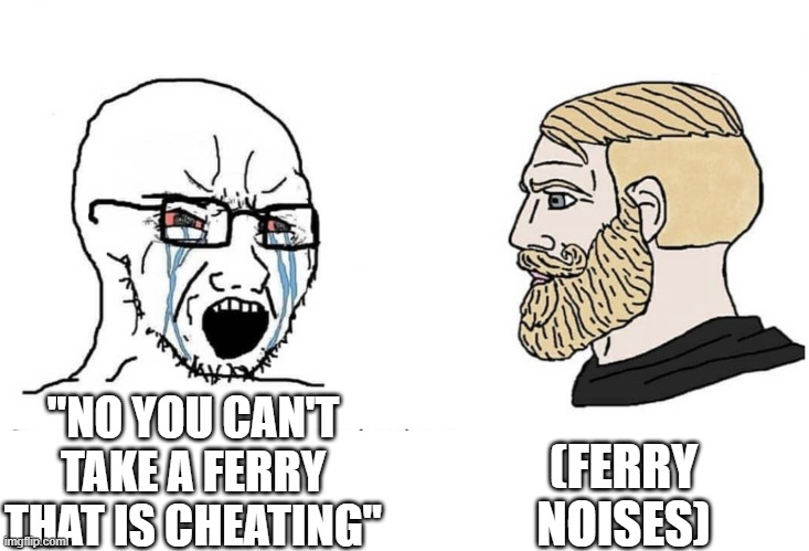
Rules: I will be walking the country and the only sort of exception I have will be when I need to cross a body of water that would require an excessive detour, or if there is a piece of impassable car infrastructure such as a bridge that prohibits walking. In those cases, I will take a ferry, a bus, or I will hitch a ride with a kind stranger. Cue the most annoying voice you can think of, well actually Holden, you aren’t technically walking across America then. Maybe, but the shortest distance between the Atlantic and Pacific is a distance 1000-1500 shorter than what I will end up walking, so I am making up for it. I also thought about trying to start in Guam, but that seemed a little tough to swing. There will also be times where I potentially get a ride somewhere and then am dropped off back where I was picked up for the sake of continuity. Additionally, I would not be surprised if while in the Midwest I take a bus/train/flight somewhere for a short trip and then return to my original destination to keep walking.
Conclusion: Hopefully this information gives you a better sense of what I have been thinking over the past year in regards to the walk. The information here is probably not everything and there is probably more to add, but the content is a good start. I think at the end of my journey it will be really fun to see how I perceived what the walk would look like compared to what actually ends up happening.
